Barn Record Ledyard
RETURN TO ‘FIND BARNS’
- Overview
-
Designations
n/a
Historic Significance
Architectural description:
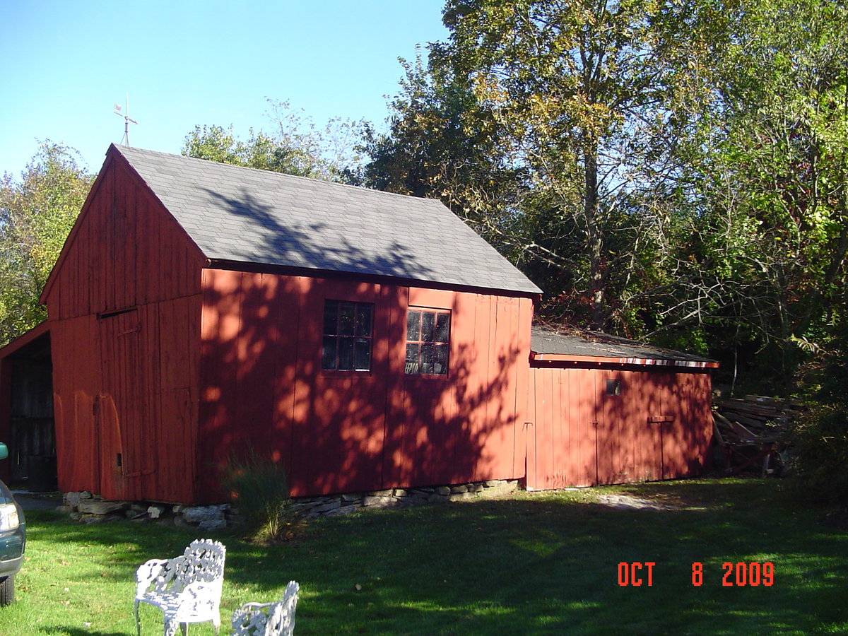
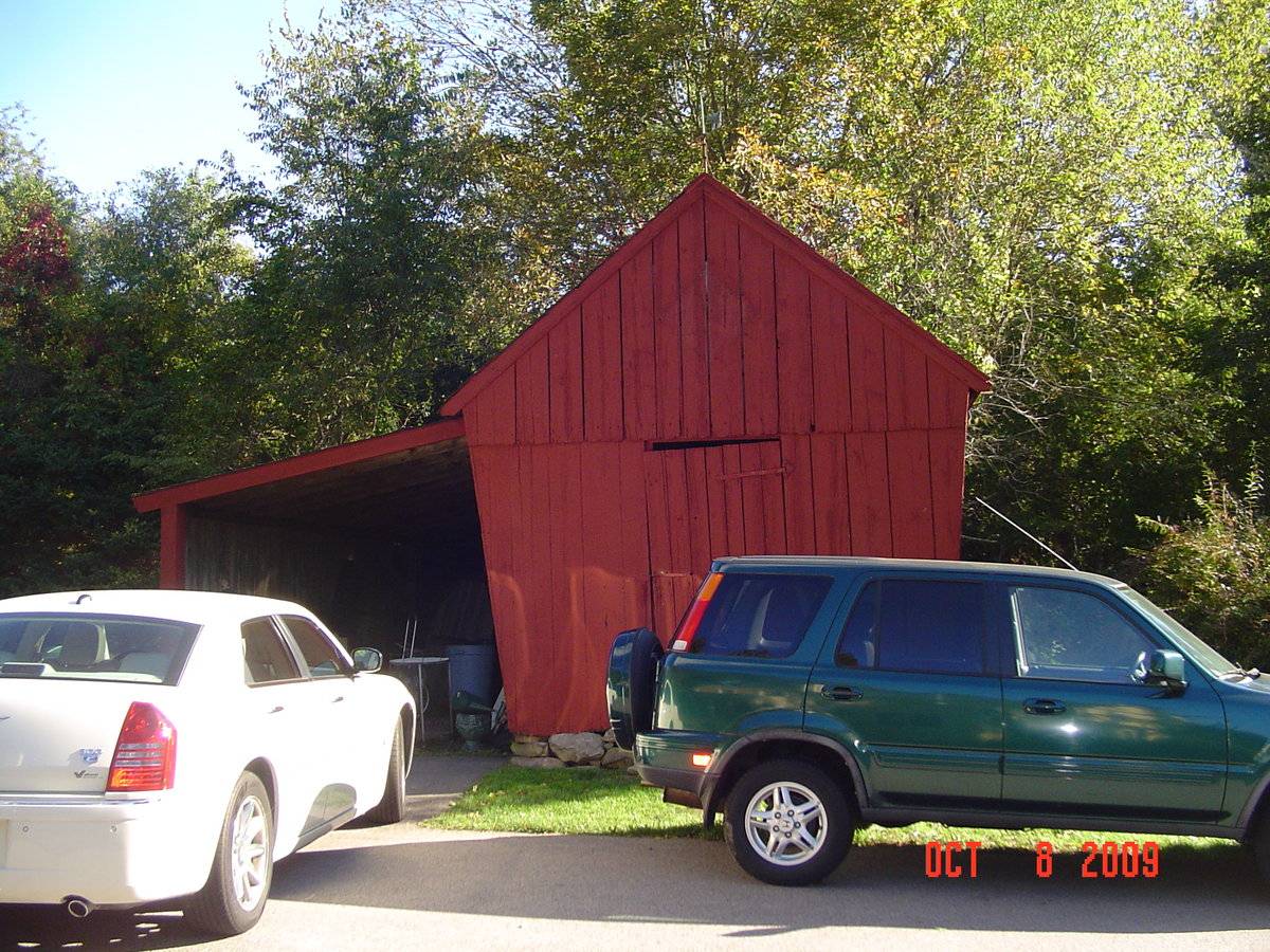
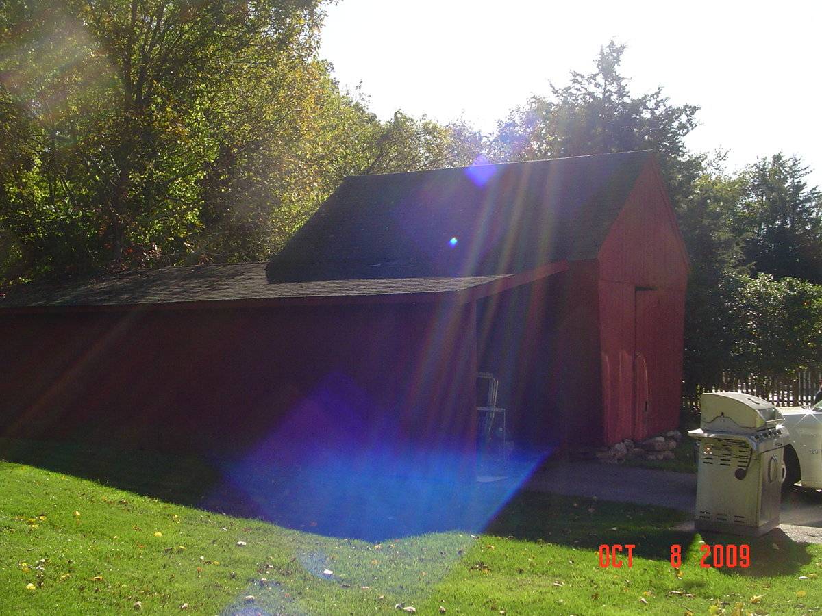
This is a 1 story gable-entry corn crib. The corn crib has a rectangular footprint and a pitched roof with a ridge-line running east-west, perpendicular to Long Cove Road. The corn crib has slanted side walls on the eave sides. The main gable-end faces west and has a pass-through door, which is centrally located. Connected onto the north eave side is a carport with a shed roof which extends from the eave of the corn crib. The carport extends to the east covering the entire north eave side of the corn crib. Connected onto the east gable-end is a shed. The north eave side has two fixed six pane windows, which are located toward the center. The corn crib is set above the ground on flagstone and is clad in vertical siding, which has been painted red. The roof has overhanging eaves and is covered in asphalt shingles.
Historical significance:In the middle of the 19th century, growing “Indian” corn became popular. Storing the corn on the
cob in well-ventilated corn cribs allowed the kernels to dry without spoiling. The distinctively
shaped corn crib, with slanted side walls built of spaced wooden slats, became common by the
1860s. The overhanging eaves and slanted walls helped prevent rain from splashing inside. Vertical
side walls are also common. Corn cribs are typically set high above the ground on wooden or stone
posts.Field Notes
Corn crib with stone foundation and two extensions. Large historic home on site.
- Use & Accessibility
Use (Historic)
Use (Present)
Exterior Visible from Public Road?
Yes
Demolished
n/a
Location Integrity
Unknown
- Environment
Related features
Environment features
Relationship to surroundings
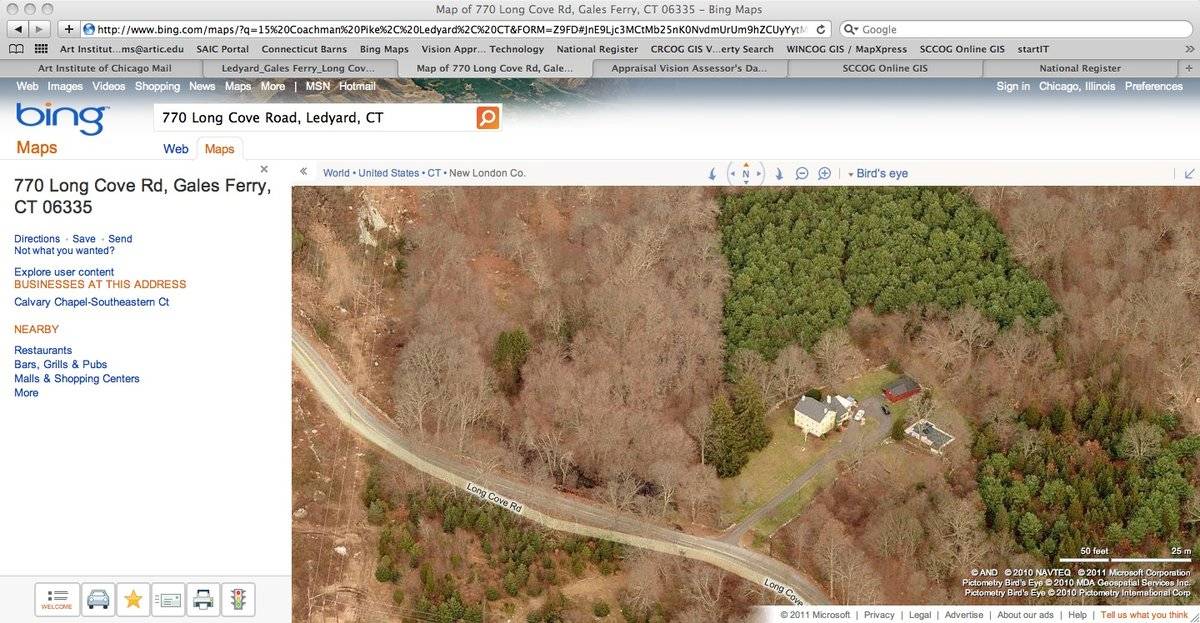
The total area of the site is 183.57 acres, which includes a house, corn crib, carport, shed, in-ground pool, and stone wall. The house faces west onto Long Cove Road and is located to the west of the corn crib. The ridgeline of the house runs roughly north-south, while the ridgeline of the corn crib runs east-west. The carport is connected onto the north side of the corn crib and the shed is connected onto the east side of the corn crib. The in-ground pool is south of the corn crib. Woodlands surround the house and outbuildings on the north, south, and east sides.
- Typology & Materials
-
Building Typology
Materials
Structural System
n/a
Roof materials
Roof type
Approximate Dimensions
420 sq. ft.
- Source
-
Date Compiled
02/13/2011
Compiled By
C. Whims & T. Levine, reviewed by CT Trust
Sources
Field notes and photographs by Anne T. Roberts-Pierson date 12/07/2009.
Town of Ledyard Assessor’s Record or GIS Viewer http://data.visionappraisal.com
Parcel ID: 109/ 1340/ 770/ / /Aerial Mapping:
http://www.bing.com/maps accessed 02/13/2010.Sexton, James, PhD, Survey Narrative of the Connecticut Barn, Connecticut Trust for Historic Preservation, Hamden, CT, 2005, http://www.connecticutbarns.org/history.
Visser, Thomas D., Field Guide to New England Barns and Farm Buildings, University Press of New England, 1997.
Visser, pp. 128-130. - PhotosClick on image to view full file
-