Barn Record Ashford
RETURN TO ‘FIND BARNS’- Building Name (Common)
- n/a
- Building Name (Historic)
- n/a
- Address
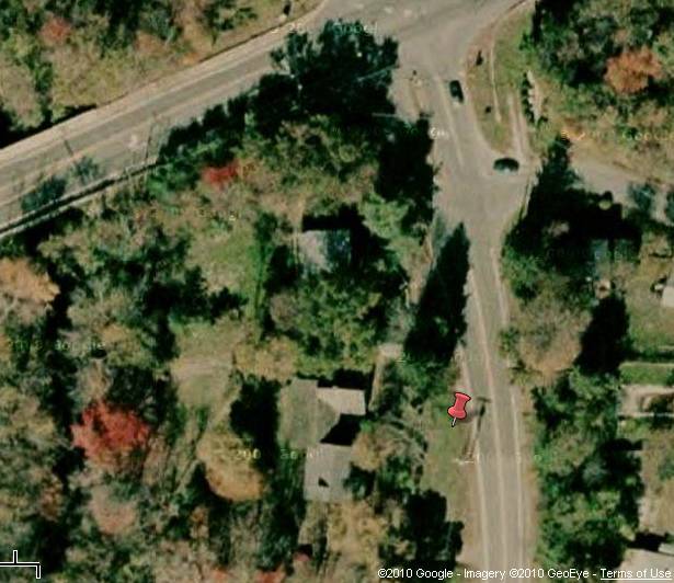
- 10 Mansfield Road (Route 89), Ashford
- Typology

- Overview
-
Designations
n/a
Historic Significance
Architectural description:
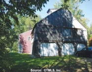
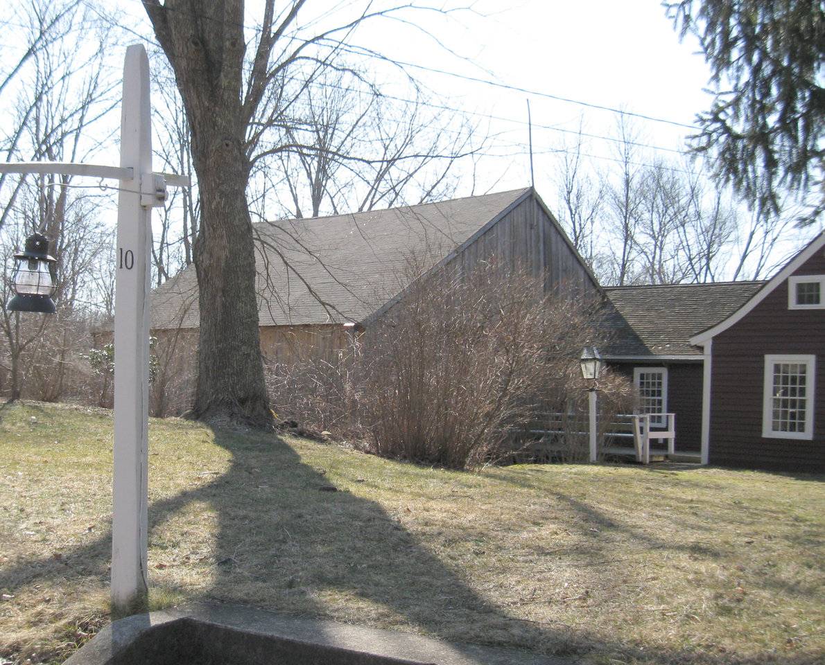
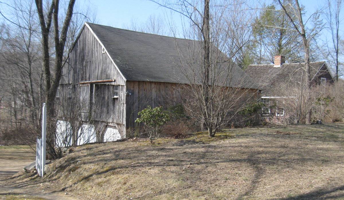
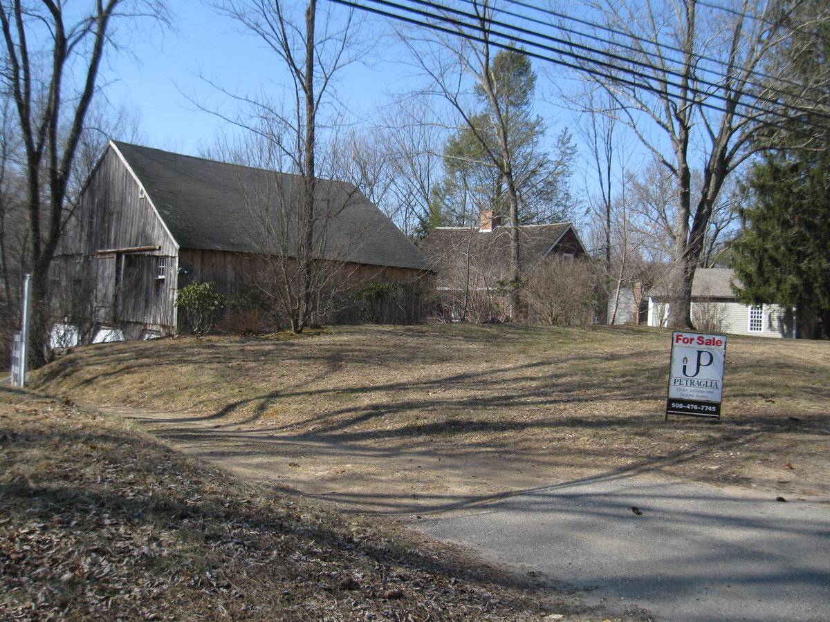
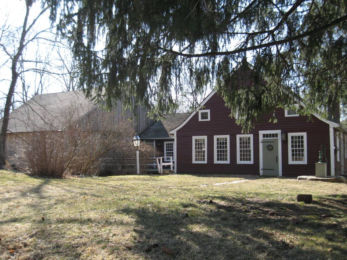
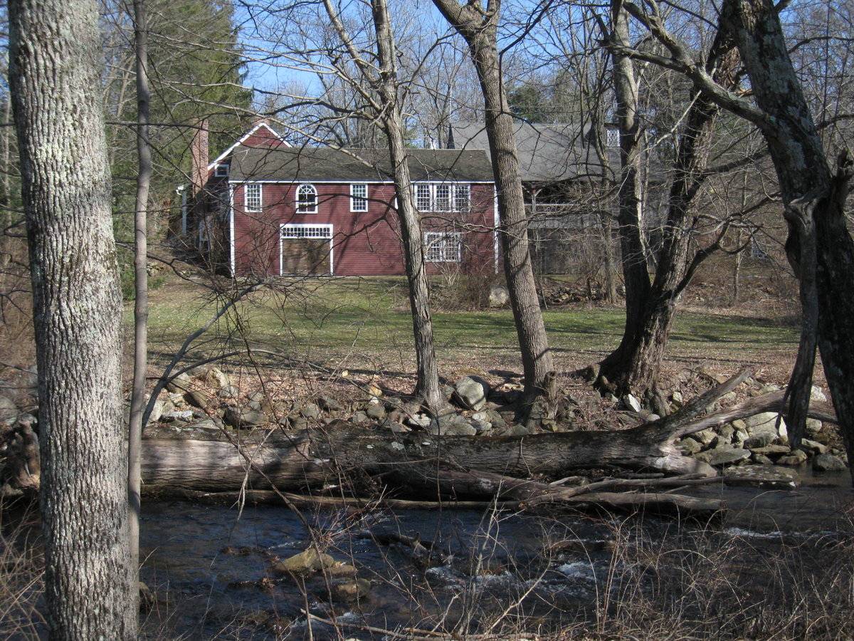
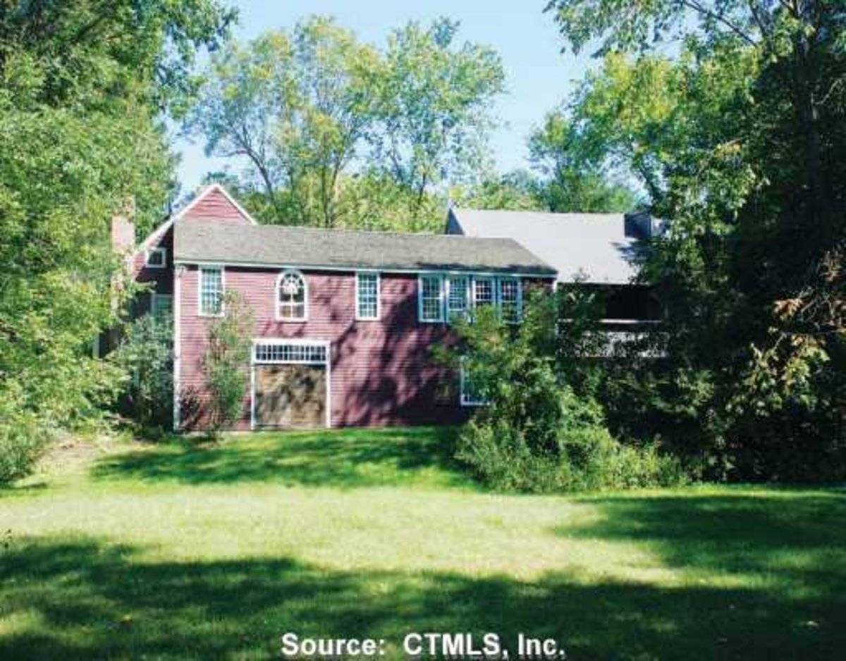
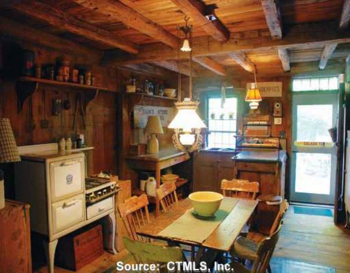
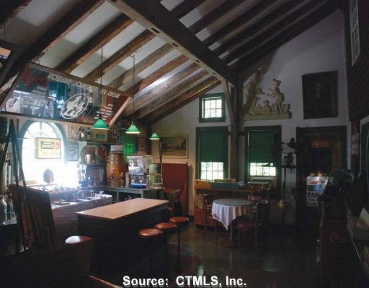
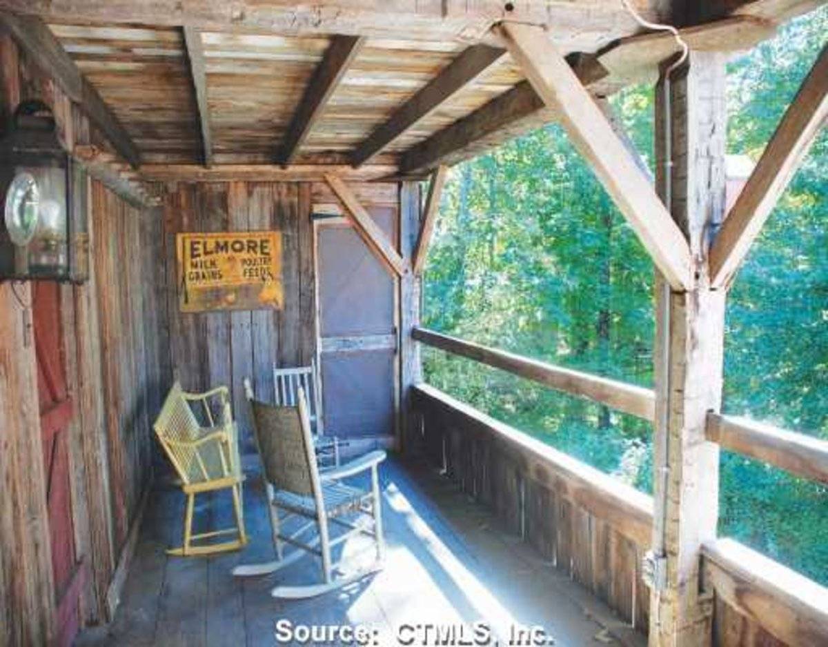
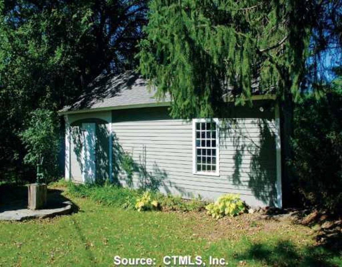
This is a 1 1/2-story gable-roofed bank barn with its ridge line oriented north-south parallel to the road. The lower level has three overhead garage doors in its south gable-end. Above is a sliding door flanked by two six-pane windows on the left and one on the right. The east facade has no openings at grade. The north facade is attached to a connecting addition to the house but appears to have been the entry facade originally. The west facade facing the river has an open porch on the main level; the interior has been converted to living space with windows looking west to the river view.
The gable roof has asphalt shingles and a small shed dormer in the west pitch. Siding is vertical flush board.
Historical significance:The New England barn or gable front barn was the successor to the English barn and relies on a gable entry rather than an entry under the eaves. The gable front offers many practical advantages. Roofs drain off the side, rather than flooding the dooryard. With the main drive floor running parallel to the ridge, the size of the barn could be increased to accommodate larger herds by adding additional bays to the rear gable end. Although it was seen by many as an improvement over the earlier side-entry English Barn, the New England barn did not replace its predecessor but rather coexisted with it. The 19th century also saw the introduction of a basement under the barn to allow for the easy collection and storage of a winter’s worth of manure from the animals sheltered within the building. The bank barn is characterized by the location of its main floor above grade, either through building on a hillside or by raising the building on a foundation. This innovation, aided by the introduction of windows for light and ventilation, would eventually be joined by the introduction of space to shelter more animals under the main floor of the barn.
Historical background:The town of Ashford was incorporated in 1714 and for its first century had the typical scattered settlement on upland ridges which characterized nearly all of Connecticut. The economy was community-subsistence agriculture. Industry was limited to the mills of the agricultural economy – grist, saw, fulling mills.
In the early 19th century, turnpikes and improved roads, along with limited market-oriented agriculture, resulted in some local wealth and settlement nuclei at the major crossroads. Ashford Center, Westford, and Warrenville date from this period. So do the fancy Federal-style houses in these villages and along Route 89 (Mansfield Road) south of Warrenville. Also in this period there existed a short-lived glass factory at Westford.
In the 19th century, the lack of significant waterpower and railroad connections led to stagnation. Its peak population, 1820 (2,778) which had declined to 668 by 1910, was not exceeded until 1980.
In the early 20th century, the declining farms of Ashford were abandoned by their Yankee owners and sold to East European immigrants, notably Slovaks, Bohemians, and Hungarians (Magyars). This transformation of the rural countryside is one of the great stories of modern Connecticut. Today a large portion of the town is descended from these people.
Today Ashford remains a beautiful, scenic town. All roads are mostly scenic, with wooded, overgrown pastures (stone walls, young hardwoods) predominating (Clouette, Ashford survey).Field Notes
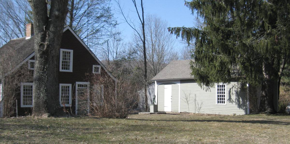
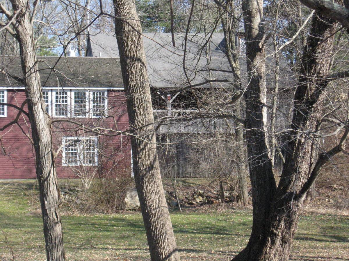
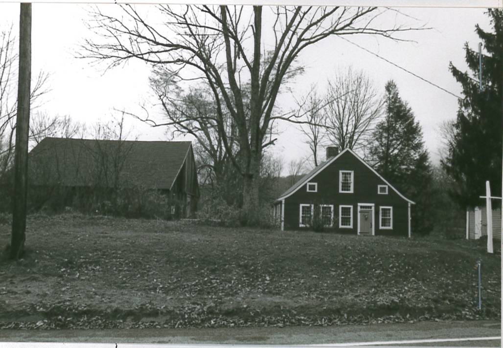
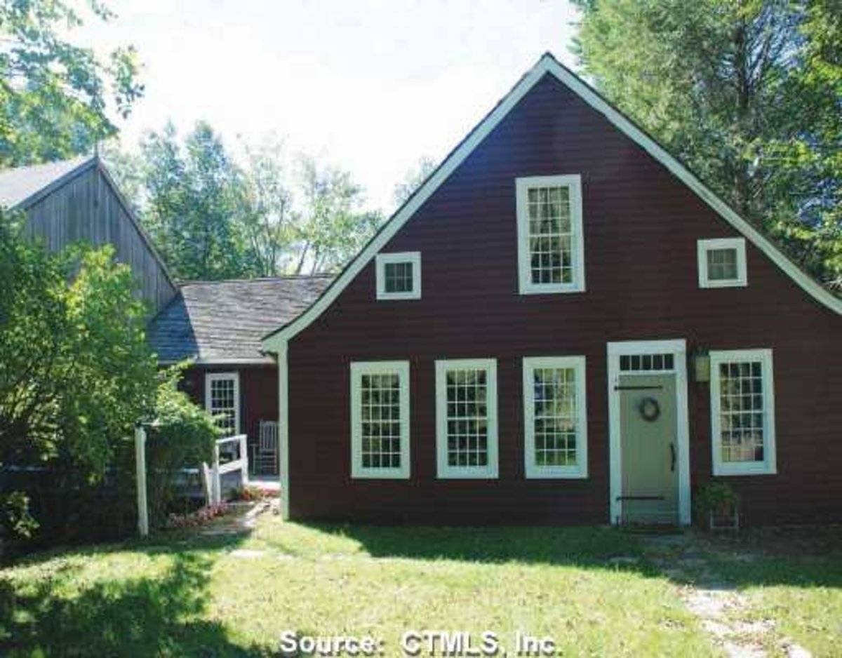
Photograph from Clouette survey pre-dates the addition connecting the house and barn. Barn converted to living space; west side visible from opposite bank of the river. Real estate photos of additional views.
- Use & Accessibility
Use (Historic)
Use (Present)
Exterior Visible from Public Road?
Yes
Demolished
n/a
Location Integrity
Unknown
- Environment
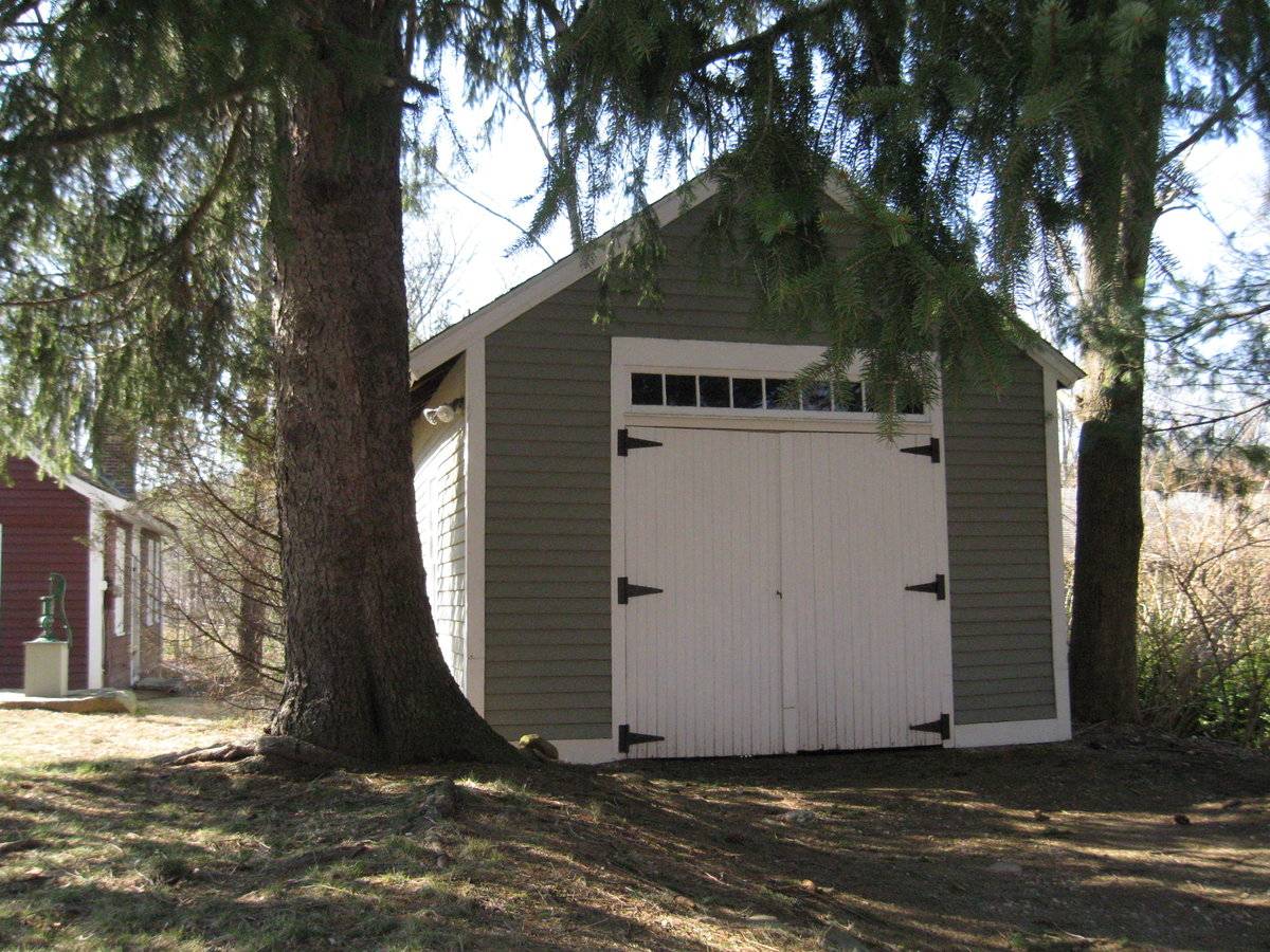
Related features
Environment features
Relationship to surroundings
Located just south of the center of Ashford (the village of Warrenville) along the east bank of the Mt. Hope River. To the north, US Route 44 (known locally as Ashford Center Road or Pompey Hollow Road)runs east-west, and has most of the commercial and municipal services for the town. Mansfield Road crosses the southern part of Ashford, leading south into Mansfield. It is an area of some open fields, much woodland and wetlands along the Mt. Hope River, and scattered 19th-century farmhouses and 20th-century suburban homes. This .85-acre parcel is on the west side of the road, with the river bank close at the rear. In this area close to Route 44, houses are built close together. This house is a c. 1720 1 1/2-story colonial style, with its ridge-line oriented east-west perpendicular to the street. It’s entry door is in the east gable-end, off center to the right. There are three tweove-over-twelve double hung windows to the left (south) and one to the right (north) in the ground floor. There is a similar window above in the attic gable, and two six-pane awning-type windows, one at each side under the eaves. The roof has flared eaves. The front door is a plank door with iron strap hinges. The house is connected to the barn by a 1-story gable-roofed ell extending south from the south eave-side of the house and meeting the north gable-end of the barn.
- Typology & Materials
-
Building Typology
Materials
Structural System
Roof materials
Roof type
Approximate Dimensions
1270 square feet
- Source
-
Date Compiled
03/12/2010
Compiled By
Charlotte Hitchcock, reviewed by CT Trust
Sources
Field notes and photographs by Charlotte Hitchcock 3/07/2010.
Town of Ashford Assessor’s Record Map/Lot 35/ E/ 18 (house built 1720, .85 acres, barn 1270 sf).Bayles, Richard M.; History of Windham County, Connecticut, New York: W.W. Preston, 1889. excerpts available at
< http://www.connecticutgenealogy.com/windham/ashford.htm >.
Clouette, Bruce, National Register of Historic Places, Church Farm, Nomination #270921, 1988. Item No. 88002650 NRIS (National Register Information System) http://pdfhost.focus.nps.gov/docs/NRHP/Text/88002650.pdf
< http://pdfhost.focus.nps.gov/docs/NRHP/Photos/88002650.pdf >Clouette, Bruce, Ashford Township Survey, handwritten manuscript, Connecticut Trust for Historic Preservation, 199x.
Sexton, James, PhD, Survey Narrative of the Connecticut Barn, Connecticut Trust for Historic Preservation, Hamden, CT, 2005, http://www.connecticutbarns.org/history.
Visser, Thomas D., Field Guide to New England Barns and Farm Buildings, University Press of New England, 1997.
- PhotosClick on image to view full file
-