Barn Record Andover
RETURN TO ‘FIND BARNS’
- Overview
-
Designations
n/a
Historic Significance
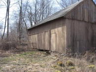
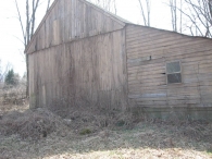
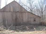
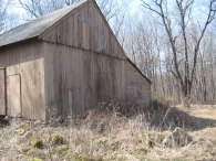
Architectural description:
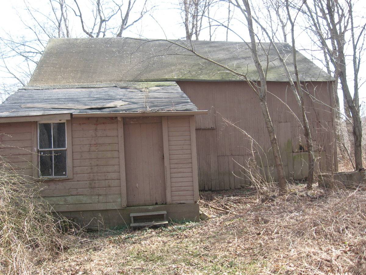
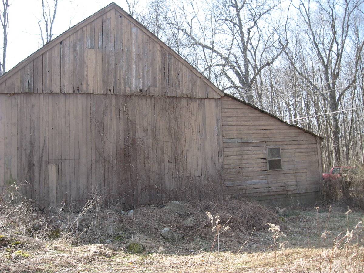
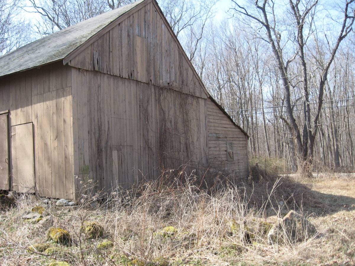
This is a 1 ½-story three-bay eave–entry gable-roofed barn with a shed-roofed addition. The main façade faces south and the ridge-line of the barn is approximately parallel to Boston Hill Road, which runs generally east-west. The main entry is a centered exterior-sliding door in the south eave-façade. There is an exterior-swinging pass-through door to the right (east). The west gable-end appears to be blank. The west half of the north eave-side of the main barn is blank. Extending from the east bay of the north eave-side is a 1-story shed-roofed addition. There is a swinging pass-through door and a two-over-two double-hung window in the north eave-side of the addition. The east gable-end of the barn appears to be blank. The addition has a single two-pane window in the east side, which is flush with the east gable-end of the main structure.
The barn has vertical flushboard siding painted tan, that is patched in places, and plywood doors. The addition has a concrete base and horizontal shiplap siding. The roof appears to be asphalt shingles; the addition has roll roofing applied over asphalt shingles.
Historical significance:The oldest barns still found in the state are called the “English Barn,” “side-entry barn,” “eave entry,” or a 30 x 40. They are simple buildings with rectangular plan, pitched gable roof, and a door or doors located on one or both of the eave sides of the building based on the grain warehouses of the English colonists’ homeland. The name “30 by 40” originates from its size (in feet), which was large enough for 1 family and could service about 100 acres. The multi-purpose use of the English barn is reflected by the building’s construction in three distinct bays - one for each use. The middle bay was used for threshing, which is separating the seed from the stalk in wheat and oat by beating the stalks with a flail. The flanking bays would be for animals and hay storage.
Field Notes
house had 1779 date on it owners said was used as cow barn
- Use & Accessibility
- Environment
Related features
Environment features
Relationship to surroundings
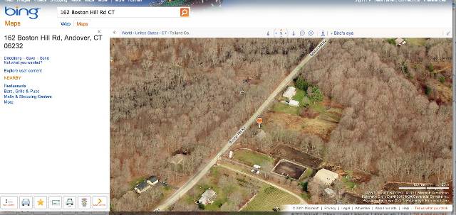
The barn is on the south side of Boston Hill Road, which curves somewhat northeast at this point. The barn is to the southwest of the house with which it is associated. The 1 ½-story house, built in c. 1779, has a gable–roof oriented parallel to the road. There is a double garage behind and to the southwest of the house. A grass track leads from behind the garage to the south façade of the barn. The barn is bordered on the east by open land beginning to show second growth, with a tree hedge running along its south and west sides. Further south and east on the flat 1-acre lot there are woodlands. The area surrounding the property is mainly woodlands with some scattered housing. The property is 1.5 miles west of the center of Andover.
- Typology & Materials
-
Building Typology
Materials
Structural System
Roof materials
Roof type
Approximate Dimensions
1136 square feet
- Source
-
Date Compiled
03/08/2011
Compiled By
L. Mackintosh & T. Levine, reviewed by CT Trust
Sources
Field notes and photographs by Pamela Brown date 3/22/2010.
Town of Andover Assessor’s Record or GIS Viewer: http://data.visionappraisal.com/AndoverCT
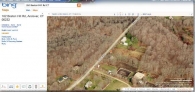
Parcel ID: 27/ 020/ 000006/ / /Aerial Mapping:
http://www.bing.com/maps accessed 3/7/2010.Sexton, James, PhD, Survey Narrative of the Connecticut Barn, Connecticut Trust for Historic Preservation, Hamden, CT, 2005, http://www.connecticutbarns.org/history.
Visser, Thomas D., Field Guide to New England Barns and Farm Buildings, University Press of New England, 1997.
- PhotosClick on image to view full file
-