Barn Record Bloomfield
RETURN TO ‘FIND BARNS’- Building Name (Common)
- n/a
- Building Name (Historic)
- n/a
- Address
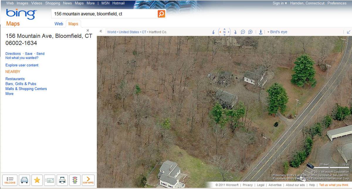
- 156 Mountain Avenue, Bloomfield
- Typology

- Overview
-
Designations
n/a
Historic Significance
Architectural description:
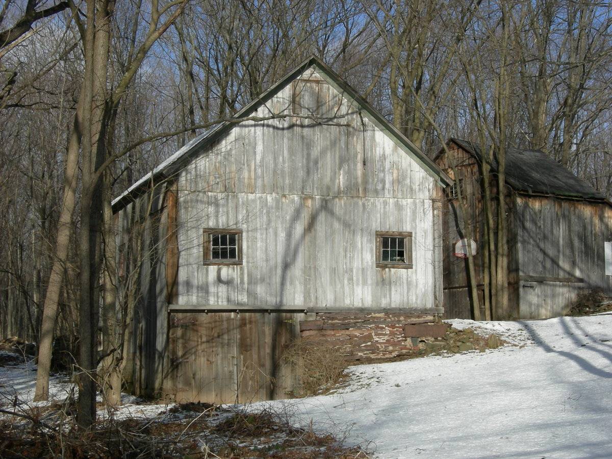
This is a 1 ½-story eave-entry bank barn with a gable roof. Its ridge-line runs north-south. The barn is set on a hillside that declines from east to west, revealing a mortared cut stone foundation. The main entry is a pair of double-height exterior sliding doors in the middle of three bays in the east eave-facade of the barn. There is a multi-pane window with trim on the first floor near the barn’s northeast corner. The grade for the south gable-end declines dramatically from east to west. The south gable-end has a pair of full length double side-swinging doors that spans the west half of the basement level. The first floor of the south gable-end has two symmetrically spaced six-pane windows with trim, and the south gable attic has a centered hay door near its apex. The vertical siding of the west eave-side of the barn extends from the roof line to grade. The west eave-side basement has a centered pass-through door and a window with trim near the barn’s northwest corner. The west eave-side first floor has a centered multi-pane window with trim and a second window with trim over the basement window near the barn’s northwest corner.
The barn walls are white vertical flush-board siding. The white paint is worn off in some places. The barn roof has slightly projecting eaves and is covered with asphalt shingles.
Historical significance:The oldest barns still found in the state are called the “English Barn,” “side-entry barn,” “eave entry,” or a 30 x 40. They are simple buildings with rectangular plan, pitched gable roof, and a door or doors located on one or both of the eave sides of the building based on the grain warehouses of the English colonists’ homeland. The name “30 by 40” originates from its size (in feet), which was large enough for 1 family and could service about 100 acres. The multi-purpose use of the English barn is reflected by the building’s construction in three distinct bays - one for each use. The middle bay was used for threshing, which is separating the seed from the stalk in wheat and oat by beating the stalks with a flail. The flanking bays would be for animals and hay storage.
The 19th century saw the introduction of a basement under the barn to allow for the easy collection and storage of a winter’s worth of manure from the animals sheltered within the building. The bank barn is characterized by the location of its main floor above grade, either through building into a hillside or by raising the building on a foundation. This innovation, aided by the introduction of windows for light and ventilation, would eventually
be joined by the introduction of space to shelter more animals under the main floor of the barn.”Field Notes
n/a
- Use & Accessibility
Use (Historic)
Use (Present)
Exterior Visible from Public Road?
1
Demolished
n/a
Location Integrity
Unknown
- Environment
Related features
Environment features
Relationship to surroundings
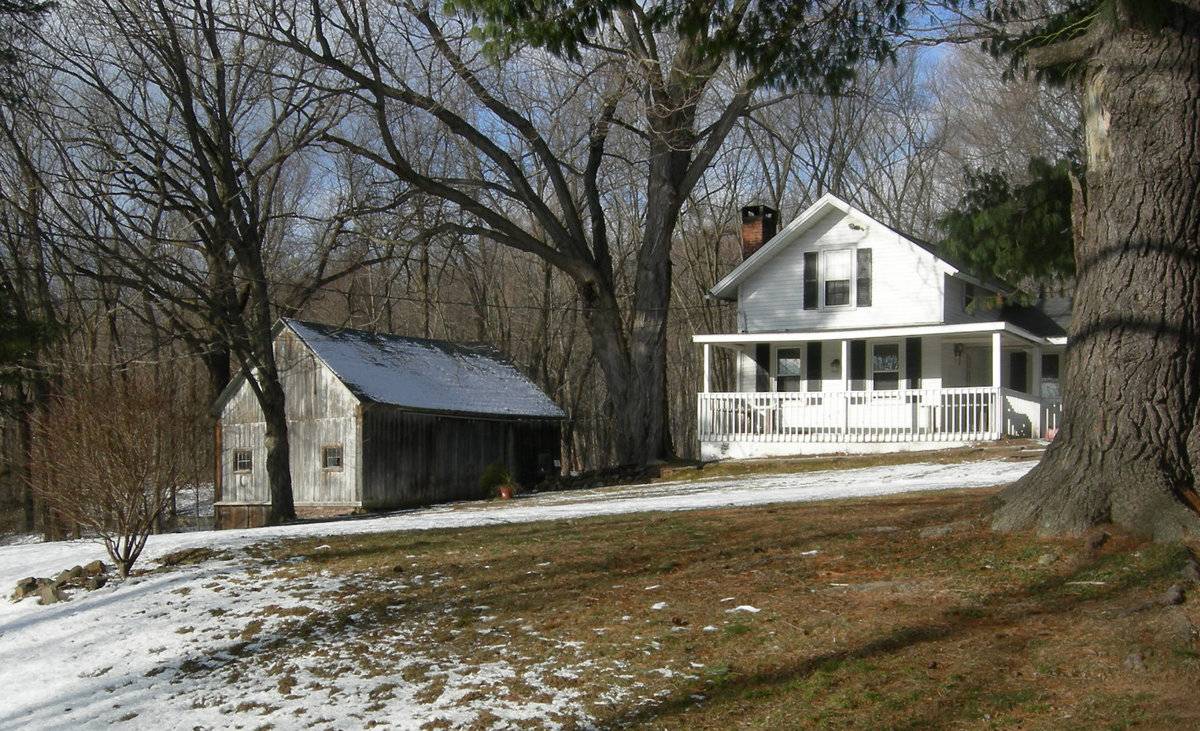
The barn is behind and to the west of the house it is associated with. The main ridge-line of the house is parallel to the barn ridge-line. The house is on the south edge of the property and faces south to Mountain Avenue. South of the house and north of Mountain Avenue is a residential lawn. A driveway starts from Mountain Avenue and s curves north past the west façade of the house and the east façade of the barn forks around the south, west, and north sides of a shed, which is north of the house and northeast of the barn. North of the shed, the driveway connects to a parking lot. Between the driveway and the west side of the house is a raised garden outlined and buttressed by a stone wall. North of the driveway parking area, garage, and house is woodland. The woodland extends east and southeast of the house.
West of the house and driveway is the barn. A stone wall embankment extends east from the southeast corner of the barn, while another short stone wall extends east from the barn’s northeast corner. South of the barn is a lawn, Woodland is southwest, west, and north of the barn. Woodland comprises the majority of the property, which is 2.9 acres. The land around the property is open land, rural, residential, and woodland.
Map/Lot/Unit: 175-4/ / 3/ /- Typology & Materials
-
Building Typology
Materials
Structural System
Roof materials
Roof type
Approximate Dimensions
900 Square Feet
- Source
-
Date Compiled
03/26/2011
Compiled By
J. Toner & T. Levine, reviewed by CT Trust
Sources
Field notes and photographs by Charlotte R Hitchcock on 06/07/2007.
Town of Bloomfield Assessor’s Record and GIS Viewer: http://www.visionappraisal.com/
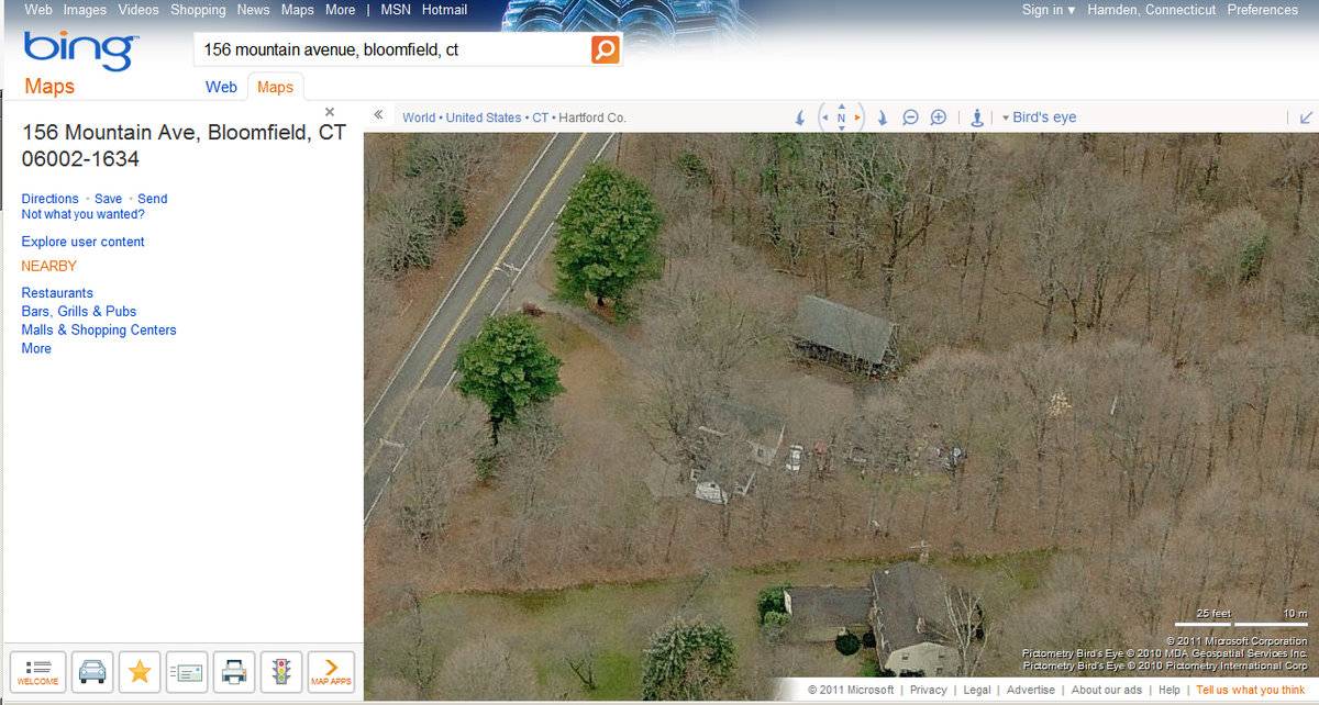
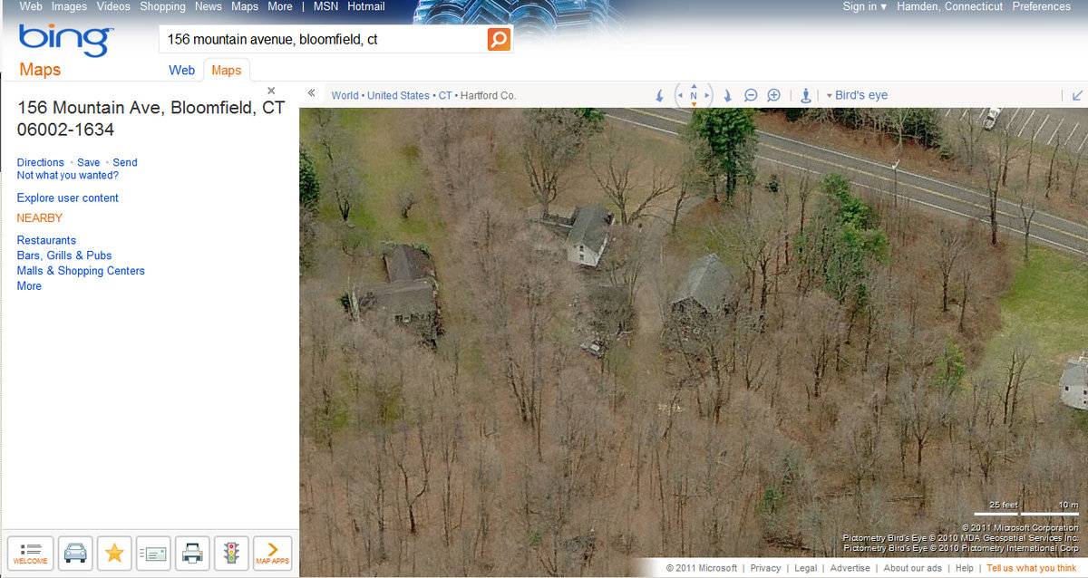
Map/Lot/Unit: 175-4/ / 3/ /Aerial Mapping:
http://www.bing.com/maps accessed 3/26/2011.Sexton, James, PhD, Survey Narrative of the Connecticut Barn, Connecticut Trust for Historic Preservation, Hamden, CT, 2005, http://www.connecticutbarns.org/history.
Visser, Thomas D., Field Guide to New England Barns and Farm Buildings, University Press of New England, 1997.
- PhotosClick on image to view full file
-