Barn Record Oxford
RETURN TO ‘FIND BARNS’- Building Name (Common)
- n/a
- Building Name (Historic)
- n/a
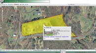
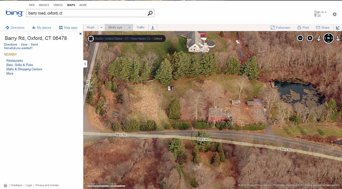
- Address
- 105 O'Neill Road, Oxford
- Typology
- Overview
-
Designations
n/a
Historic Significance
n/a
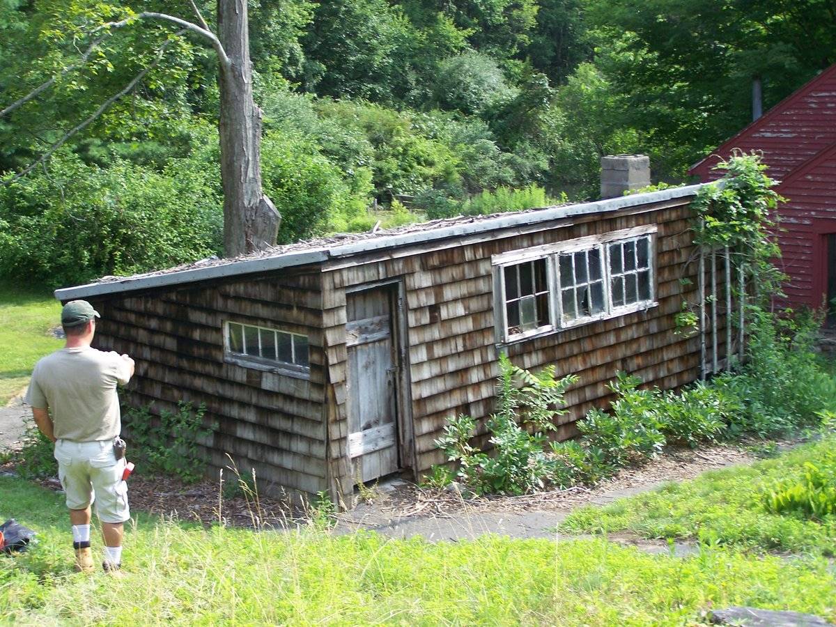
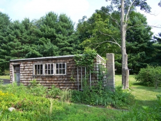
Field Notes
It appears the house that was originally on this property was demolished in place of a new brick house. Outbuildings may have been demolished as well.
- Use & Accessibility
Use (Historic)
Use (Present)
Exterior Visible from Public Road?
1
Demolished
n/a
Location Integrity
Unknown
- Environment
Related features
Environment features
Relationship to surroundings
n/a
- Typology & Materials
-
Building Typology
Materials
Structural System
Roof materials
Roof type
Approximate Dimensions
shed - possible chicken coop or workshop
- Source
-
Date Compiled
01/22/2009
Compiled By
Dottie Debisschop
Sources
Aerial Mapping: Oxford Maps
http://www.bing.com/maps - accessed 6/7/2012.Town of Oxford GIS Maps:
http://www.cogcnvgis.com/Oxford/AGS_MAP/ - accessed 6/7/2012. - PhotosClick on image to view full file
-